|
|
 |
- Use data from the National Weather Service
to evaluate different climates
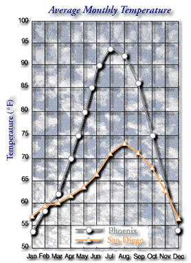
- Graph average monthly temperature and precipitation data
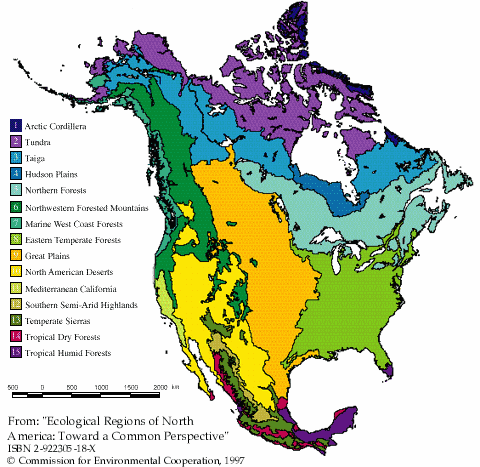
- Discover what defines an "ecological region"
- Links to ten "hands on" activities are provided to help
better understand barometric pressure, dew point, forecasts, fronts,
humidity, pressure systems, weather stations, weather maps, and wind.
- To understand their data, you must learn the terminology that meteorologists
use to describe weather and weather measurements
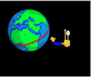
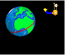
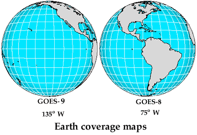
- Consider why two geostationary satellites are used to monitor U.S.
weather
- Discover where weather systems that affect the U.S. are "born"
- Learn how to access hurricane tracking data on the Internet
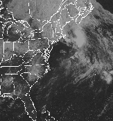
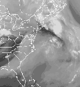
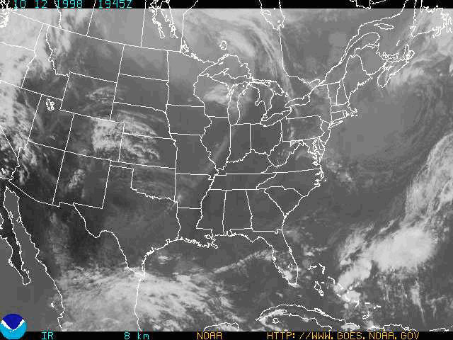
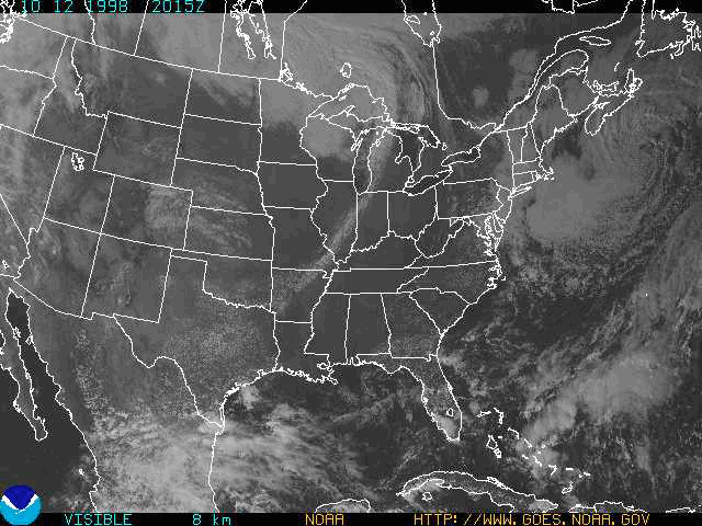
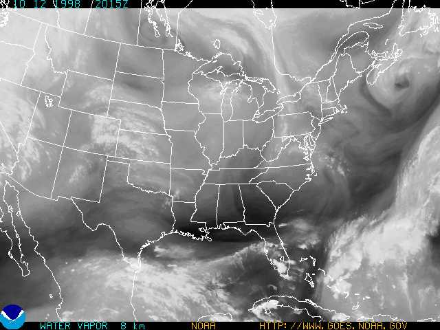
- Compare three satellite data sets: infrared, visible, and water
vapor
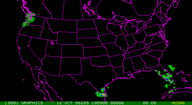
- Examine radar data to track precipitation patterns
- Think about practical and unusual applications of some remote sensing
data
|
|


