 |
 |
||||||||||||||||||
|
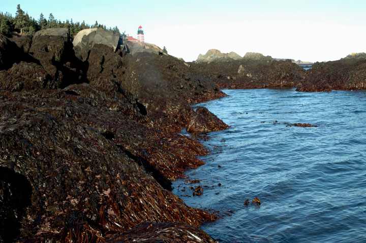
This image illustrates the lowest reach of the lower intertidal zone. This particular region of the lower intertidal is usually submerged except during an extreme low tide. Here we can see some brown and red algae, along with some subtidal kelp right along the water line. This area is exposed for a shorter period of time during the tidal cycle. The organisms that live here are not well adapted to cope with air exposure, but are well adapted to survive high wave action. In this zone you can find high diversity and abundance, and larger sized organisms, in comparison to the other intertidal zones. |
|||||||||||||||||||
|
|||||||||||||||||||