
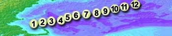

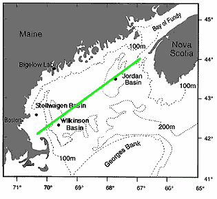
Oceanographers need to keep track of where their data are collected. They also need to plan cruise tracks in advance so the crew will know where to steer the ship. The green line shown below (VVV) is the cruise track planned by our scientists.


Hands on activities:
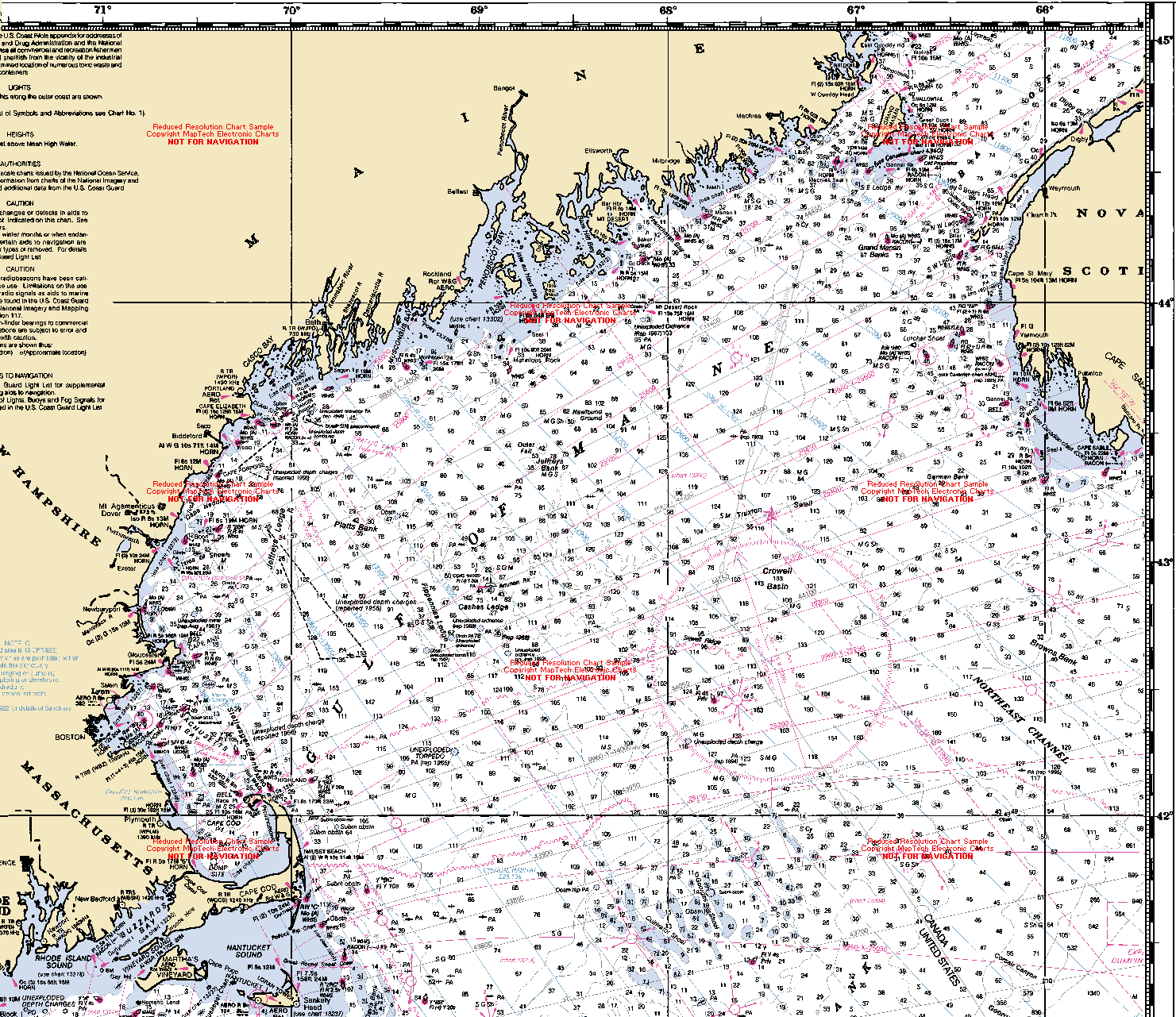
A VERY DETAILED map that shows Gulf of Maine depth in fathoms* is also available.
- 1 fathom = 6 feet = 1.83 meters
- Maps of ocean depth are called "bathymetric" maps.
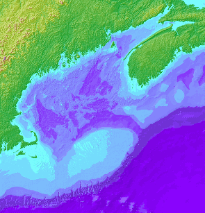
A color-coded version of bathmetry may help you better visualize how depth varies in the Gulf.
- Learn more about bathymetry by clicking here.
- Original version from U.S. Geological Survey
| Temperature | Salinity | Biology | Cruise Log | BIGELOW MAIN PAGE |